

About Course
🛣️ Civil 3D: Road Design, Earthworks, and Surveying
Course Code: 40013Soft-CIV
Duration: 4 Weeks (24–30 Hours)
Delivery Format: On-site / Online / Hybrid
Level: Intermediate
Certification: Civil 3D Engineering Application Certificate
🧾 Introduction
Civil 3D by Autodesk is one of the most powerful and specialized software tools for civil engineers, offering advanced capabilities for designing roads, earthworks, stormwater, and sanitary systems. This course will equip engineers and technicians with the practical skills required to use Civil 3D effectively in real-world infrastructure projects.
📘 Course Description
This hands-on course introduces the core functionalities of Autodesk Civil 3D, focusing on road alignment, terrain modeling, stormwater and sewer network design, and project documentation. Participants will learn to create, analyze, and present civil infrastructure models using professional tools that enhance design accuracy and project efficiency.
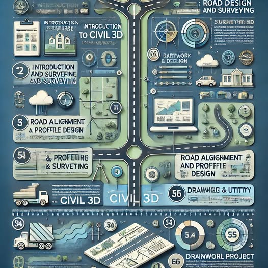
📦 Course Content
Module 1: Introduction to Civil 3D
-
Overview of Civil 3D environment and workflows
-
Interface navigation and toolspace
-
Understanding project templates and data management
Module 2: Terrain and Surface Modeling
-
Importing survey data (point files, GIS, CAD)
-
Creating and editing TIN surfaces
-
Generating contour maps and analyzing terrain
Module 3: Road Design Fundamentals
-
Creating horizontal alignments
-
Designing vertical profiles and assemblies
-
Corridor modeling and cross-section generation
Module 4: Earthworks and Volume Calculations
-
Cut and fill analysis
-
Grading tools and surface comparisons
-
Material volume reports
Module 5: Stormwater and Sewer Network Design
-
Pipe network creation and layout
-
Defining structures and parts lists
-
Hydraulic analysis and network profiles
Module 6: Documentation and Drawing Production
-
Plan and profile sheet generation
-
Annotating drawings (stations, elevations, slopes)
-
Quantity takeoff and scheduling
Module 7: Capstone Project
-
Design of a complete roadway and drainage system for an urban development
-
Compilation of drawings, reports, and presentation files
📚 Materials Included
-
Autodesk Civil 3D training manual (PDF)
-
Sample survey and design files
-
Templates for alignments, profiles, and cross-sections
-
Quantity takeoff spreadsheets
-
Project reference dataset
-
Final certificate of completion
🛠️ Requirements / Instructions
Prerequisites:
-
Basic knowledge of AutoCAD
-
Familiarity with civil engineering fundamentals (roads, drainage, surveying)
Software Requirements:
-
Autodesk Civil 3D (2022 or newer) installed
-
Access to a PC with sufficient specifications (16GB RAM, graphics card)
Instructions for Participants:
-
Install and test Civil 3D before the first session
-
Complete practical exercises after each module
-
Submit the final project design for evaluation
✅ Learning Outcomes
After completing this course, participants will:
-
Be proficient in using Civil 3D for road and drainage design
-
Be able to create complete project documentation and drawings
-
Understand terrain modeling, alignment geometry, and hydraulic layout
-
Confidently use Civil 3D in consulting, contracting, or governmental projects
Course Content
🛣️ Civil 3D: Road Design, Earthworks, and Surveying
Student Ratings & Reviews

